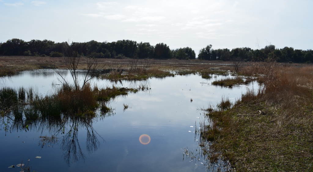

Bivens Arm Lake (or Bivens Lake) is a 189 acre lake located in Gainesville, just south of the University of Florida (UF). In fact, much of the shoreline along the north side of the lake is owned by UF. Being an urban lake, water run-off from surrounding residential and commercial properties has brought in contaminants. The major source of inflow into the lake, Tumblin Creek, has also brought in contaminants and debris. The water in Bivens is considered hypereutrophic which means it has high levels of phosphorus and nitrogen. The water also has high levels of Planktonic algea which give it a green color. Even with its numerous health problems, paddling here was still worth while.
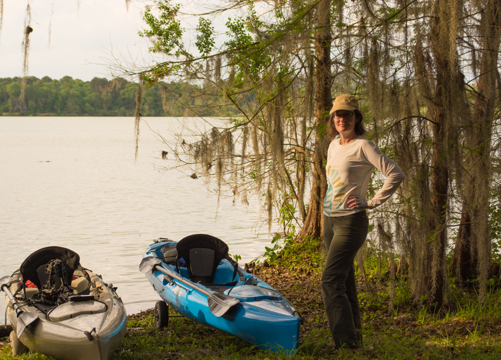
If you’re thinking of paddling Bivens, the first thing you need to do is find a place to launch. The only somewhat public launch is on U.S. Highway 441, next to Chop Stix restaurant. However, there is very little space here and if someone is parked in the space, launching is going to be difficult. The best way to launch is to find someone who lives on the lake and get their permission to use their property. This is what we did.

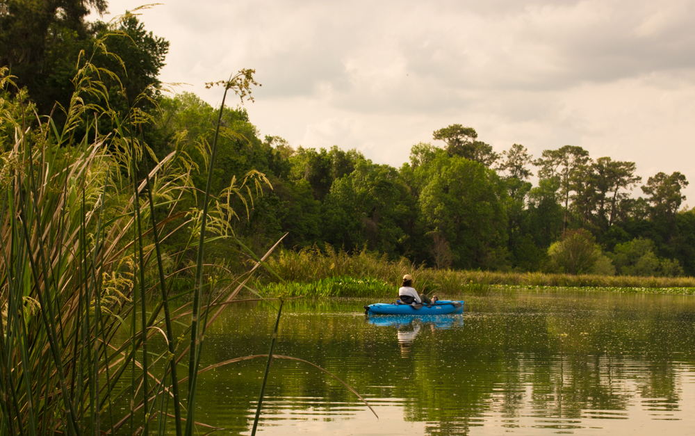
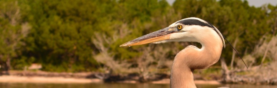
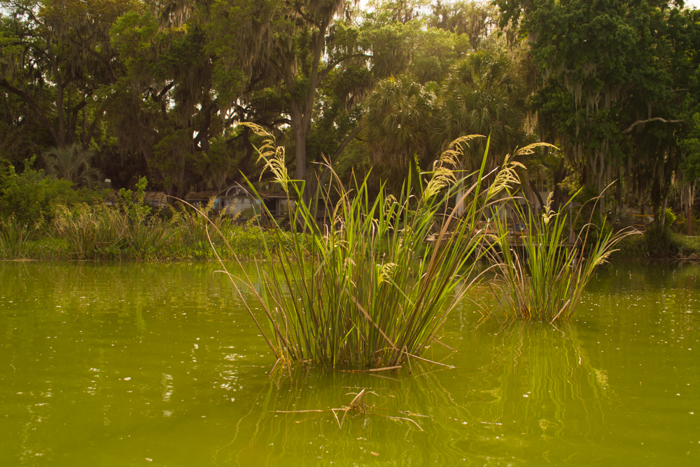
My paddle today is with Nicole, who has a striking resemblance to my usual paddling partner, Kathy . On this day, the sky was mostly overcast which helped keep the temperatures down. Several stands of Wild Rice were noted in the water around the lake along with some invasive plants like Wild Taro, Water Lettuce, and Water Hyacinth. Birds sighted included Ospreys, Egrets, Cormorants, and Anhinga. And of course, no Florida lake would be complete without a few alligators.
We peddled/paddled around the perimeter of the lake (about 2.4 miles) in a couple hours. I paddled up Tumblin Creek 50 yards or so but it became very shallow.. If the water levels were just a few inches higher, you might be able to explore more of the creek. The area along the NW side of the lake has nice overhanging oaks. This is also the site of a now defunct homeless camp.

If you live in town, are looking for a unique paddle, and know someone who lives on the lake, then Bivens might be a good choice. However, due to the water quality issues, I would not recommend swimming here. Even with all its health issues, I was pleasantly surprised at the variety of plants and birds. For birders and photographers, this paddle would be worth the trip. For purely recreational paddlers, you might want to check out Lake Wauburg, a few miles south or Newnans Lake, just east of Gainesville.
We are all connected; To each other, biologically. To the earth, chemically. To the rest of the universe, atomically – Neil deGrasse Tyson